There have been many ongoing discussions surrounding British Columbia’s liquefied natural gas (LNG) development with regards to the potential of a gas leak. Presently, there is a lack of understanding how natural gas behaves when it leaks.
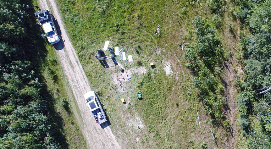
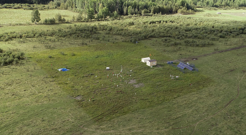
To get a better understanding of what would happen, the University of British Columbia set up various test sites in Northeastern B.C., where Vector Geomatics provided Unmanned Aerial Vehicle (UAV) services to help map methane disbursement during a simulated leak. A methane detector connected directly to the UAV by a custom mount, was utilized to help aid in the understanding of how fugitive gas migrates through geology, and its impact on groundwater and the surrounding environment.
Read more about the project:
https://news.ubc.ca/2017/11/20/new-ubc-project-studying-fugitive-gas-leaks-from-lng-operations/


