Site Survey, Layout & As-Built
Tasks:
- Site Selection
- Original Ground Topographic Survey
- Layout of Earthworks and Infrastructure
- Precise 3D Control Survey
- Pile Layout, Cut-Off and Cap Placement
- As-Built Survey of Constructed Works
- UAV Flight for DEM and Orthophoto
Location:
- Groundbirch, BC
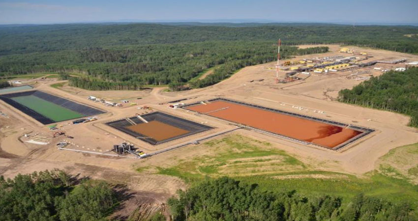
Shell Canada Ltd contracted Vector Geomatics to provide professional survey services for the design, construction and as-built of the Shell Water Hub located in Groundbirch, BC.
Vector began the project by conducting topographic surveys on various locations to determine the idea site location. Once construction commenced, Vector laid out design grades for Earthworks and all associated infrastructure locations. A precise horizontal and vertical control survey was completed, which allowed Vector to layout pile coordinates and mark cut-off elevations and place caps on piles. As construction concluded, Vector performed a topographic survey of the site for volume determination and final as-built preparation.
In 2017, Vector Geomatics flew the site with a UAV to generate an accurate EDM and Orthophoto’s of the constructed site. The deliverables for this project included custom high resolution orthophotos, digital elevation models, point clouds and oblique imagery. This project was seen as an opportunity to leverage UAV technology and photogrammetry software to minimize HSE exposure and maximize data acquisition return value.

