Unmanned Aerial Vehicles, or UAVS, have started to become very popular for aerial surveying and facility inspections. It was only 4 -5 years ago the idea of aerial surveying was not only very costly, but very complex and difficult to use. Simply acquiring a plane equipped with an aerial camera could set you back upwards of 20 to 30 thousand dollars and only fly for 10 to 15 minutes.

DJI S900
More recently, the technological innovations have allowed for much more affordable and manageable aerial vehicles. We like to stay on top of the innovations and have been working with UAV technology for the last year to produce some very high quality orthophotos, 3D models, point clouds and digital elevation models.
The complexity and accuracy has greatly improved thanks to very smart on-board computers along with GPS which dictate the orientation of the craft keeping it balanced and at a consistent altitude. When it comes to creating accurate orthophotos, consistency is very important.
Currently, we operate a variety of multi-copters for different purposes from quadcopters to octocopters. All of our crafts are equipped with computer automated flight controllers and have the ability to perform first person viewing (FPV) which is ideal for inspections or oblique photos. The use of FPV allows us to see exactly the the UAV sees saving time and giving you the exact shots you need. We use advanced photogrammetry software to take our image data and create high quality (up to 2cm/pixels) orthophotos, point clouds and 3d models.

Orthophoto showing plant site extents
Years ago this kind of processing would cost tens of thousands of dollars on several high end computers. In most cases, we are able to mobilize, setup, collect data and process everything within 24 – 48 hours. Unlike traditional LiDAR aerial surveying, UAV photogrammetry has a quicker turn around, they fly lower reducing atmospheric related issues, they have a higher resolution and is much more cost effective. We’re very excited to see what the future has for UAV’s and surveying and we’ll be there every step of the way as this technology advances to help incorporate this great tool into your project.
Below are some examples post-processing.
-

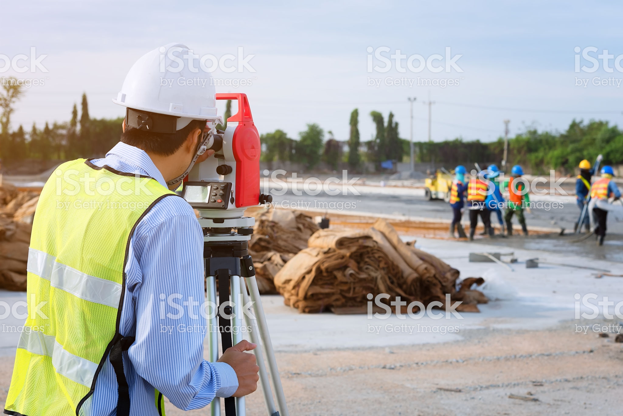
- Surveyor engineers.